Share This Article
My favourite thing to do in the Azores (ok, besides going to Caldeira Velha’s hot springs!) is to do a hiking trail. Therefore, I decided to list my 15 top trails in the Azores, which cover the islands I know best: São Miguel, Terceira, Pico, São Jorge, Flores and Corvo.
I didn’t include Faial because I haven’t explored its trails much, nor Santa Maria nor Graciosa because I haven’t visited them yet. As soon as I do, I’ll update this article.
Before you start, make sure to check my very Complete Guide to Hiking in the Azores: all you need to know.
No time to read a long article? Here’s a summary
These are the best trails in the Azores:
- Pico Island: Climbing Mount Pico is THE hike in the Azores! These days you can’t do it on your own (it is not legal), so I recommend you to book your Mount Pico Climb with a professional guide as soon as possible as it gets sold out super fast.
- São Miguel Island: PRC37 SMI Rota da Água – Janela do Inferno, PRC09 SMI Sanguinho and PRC05 SMI Serra da Devassa.
- Terceira Island: PRC01 TER Mistérios Negros and PRC06 TER Rocha de Chambre.
- São Jorge Island: Hike to Fajã João Dias, PR03 SJO Fajã de São João to Fajã dos Vimes and PR01 SJO Hike from Serra do Topo – Caldeira de Santo Cristo to Fajã dos Cubres.
- Flores Island: PRC04 FLO – Fajã de Lopo Vaz and PR02 FLO Lajedo – Fajã Grande.
- Corvo Island: PRC02 COR Caldeirão.
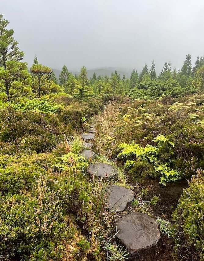
Best trails in the Azores: Pico Island
Mount Pico Climb
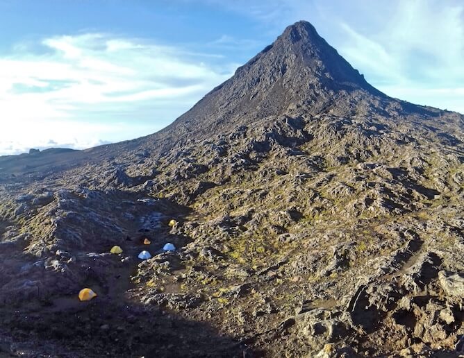
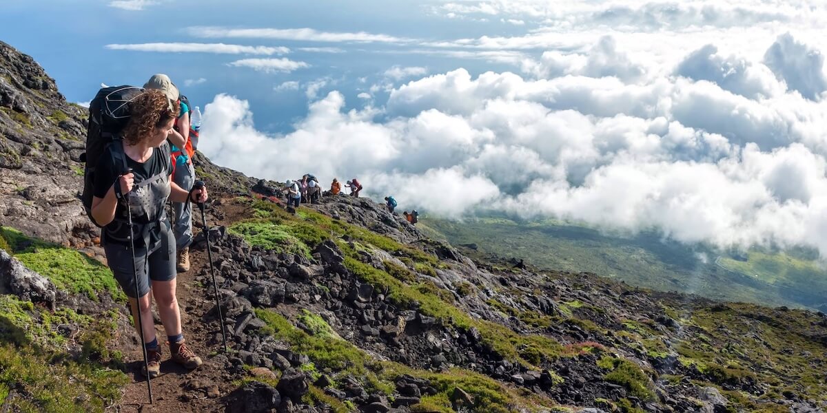
Hiking to the summit of Mount Pico, the highest peak in Portugal at 2,351 meters, is THE must-do adventure for outdoor enthusiasts visiting the Azores. The trail is approximately 7 km and it typically takes 3 to 4 hours to ascend, with a bit more time for the descent, making for a challenging but SUPER rewarding day hike.
The journey begins at the designated trailhead in the Pico Island Natural Park. Hikers are greeted by a mix of lush vegetation and volcanic rock formations, providing stunning views of the surrounding landscape. As you climb, the terrain becomes increasingly rugged, with a series of steep sections and rocky paths. The final stretch to the summit involves navigating large volcanic stones, requiring careful footing.
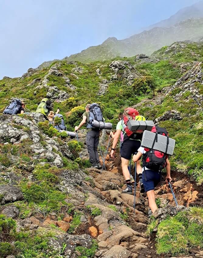
Upon reaching the top, you will be rewarded with breathtaking panoramic views of the Azores archipelago and the Atlantic Ocean. On clear days, the sight of nearby islands such as Faial and São Jorge enhances the experience. The summit also features a volcanic crater, adding to the unique geological landscape.
To Climb Mount Pico you NEED proper hiking boots, plenty of water and layers – it gets very cold at the top!
It is such a highlight of any Azores trip that I wrote a very Complete Guide of Climbing Mount Pico. I highly recommend you to read it and, if you already know for sure that you want to go on this adventure, then book your Pico Mountain Climb with a professional guide in advance as it sells out during the summer months.
Practical information
- Reservations: you no longer can climb Mount Pico without a guide, so hurry up and book your Mount Pico Climb with a professional guide.
- Distance to cover: 7 km
- Average duration: 3/4h up, a little bit let to come down.
- Type of trail: technically it is linear, but no one is going to pick you up at the top to bring you down, so in practice it is a circular trail :P
- Car park: you will arrange the meeting point with your guide.
Best trails in the Azores: São Miguel Island
PRC37 SMI Rota da Água – Janela do Inferno
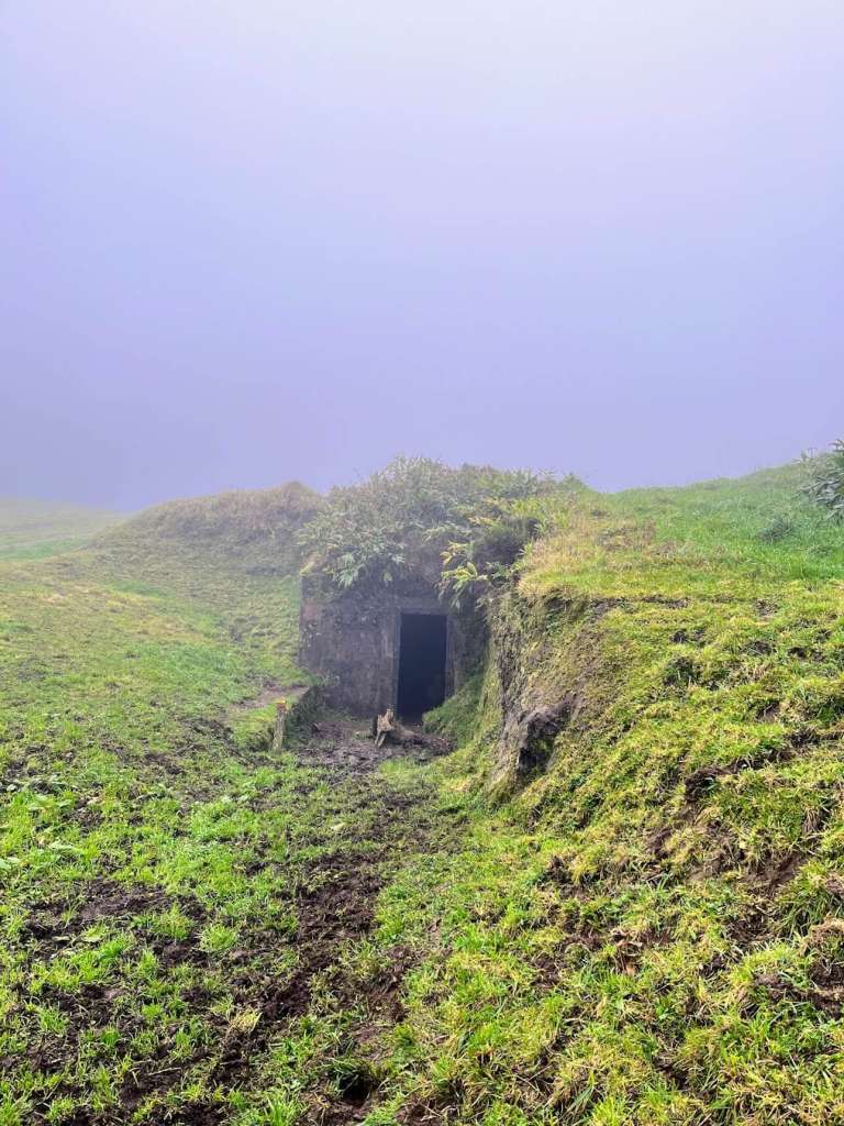
For me, THE best trail on São Miguel island, which is, therefore, one of the best trails in the Azores, is the Janela do Inferno trail. Yes, yes, I did all the iconic hiking trails in São Miguel island, but the Janela do Inferno trail has an unique mystique.
The trail starts at Casa da Água – Trail Point and the first 2 km of the trail are a bit boring, as they run on dirt tracks where cars and tractors go.
The boredom disappears as soon as we turn right, through a private lot full of cows, towards a magnificent staircase in the middle of nowhere.
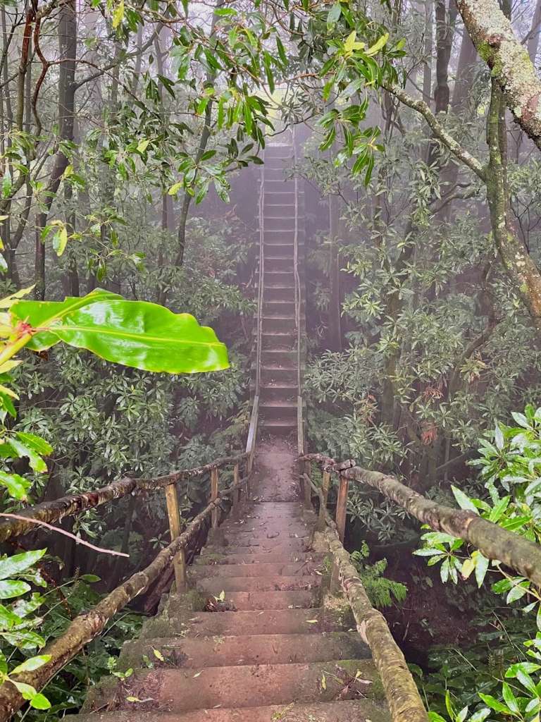
This trail continues in a dense and humid forest, where I crossed long tunnels and abandoned aqueducts until I reached Janela do Inferno, a gigantic hole on a vertical wall. From there, water springs flow that form a small, beautiful pond on the ground.
The way back is quite smooth; first in the forest, then across pasture fields back to the car park.
Important things to know about this trail
– As it is a dense forest, it is very humid so it is natural that you find mud along the way. That’s OK – you can clean your boots afterwards!
– As it has a lot of shade, it is one of the best hiking trails in São Miguel island to do on sunny days.
– During the trail you will cross two long tunnels, one of them with a very low ceiling. If you suffer from claustrophobia, this might not be the best hiking trail for you.
If you manage to conquer your fear of muddy trails and dark tunnels, you will be rewarded with a wonderful experience in a pristine forest.
Practical information
- Distance to cover: 7,3 km.
- Average duration: 2h30.
- Type of trail: circular.
- Trailhead: Casa da Água – Trail Point.
- Car park: yes – two of them!
PRC09 SMI Sanguinho
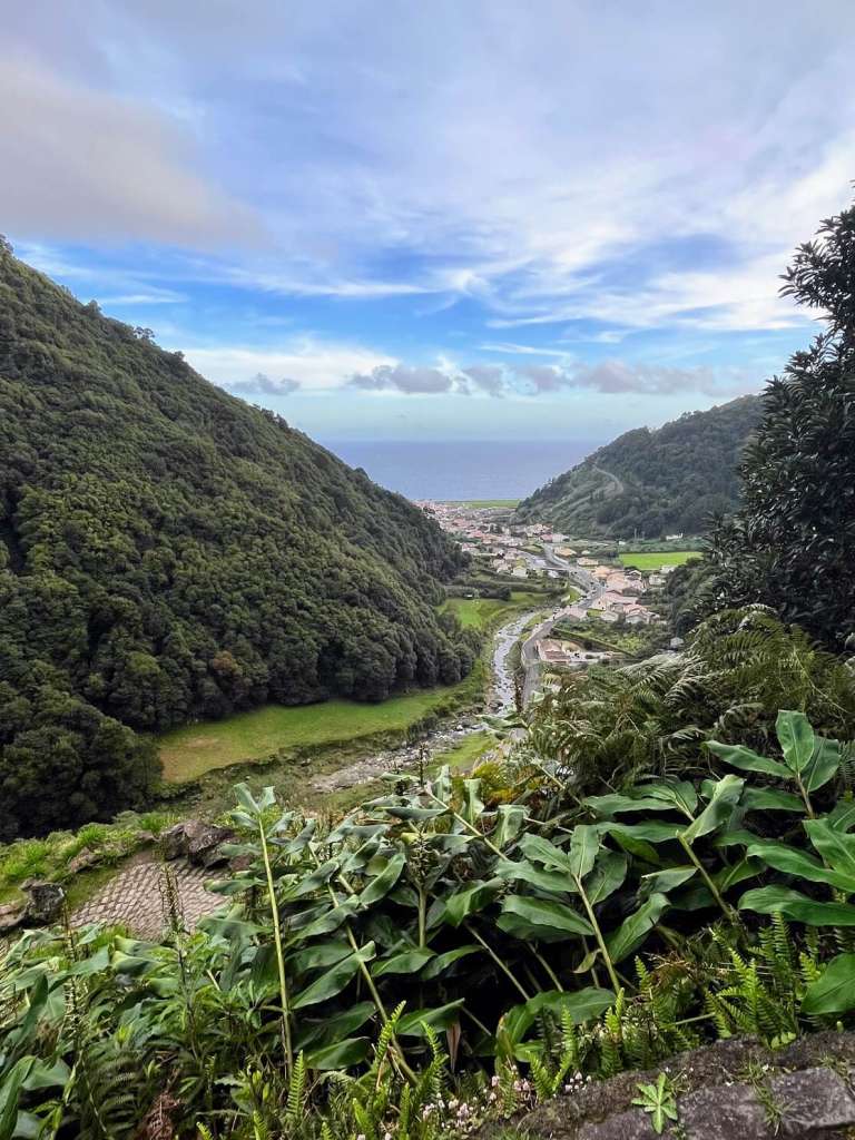
For me, Sanguinho is one of the best trails in the Azores as it introduced me to Faial da Terra, a forgotten paradise in the most remote part of São Miguel island.
The trail starts next to a bus stop, where it follows a dirt path along the left bank of the stream, in a deep forest of Incense and Acacias trees.
When you reach a bridge, cross it to the other bank and continue until you reach a fork, where you should follow the signs until you reach the Salto do Prego waterfall, which is TO DIE FOR.
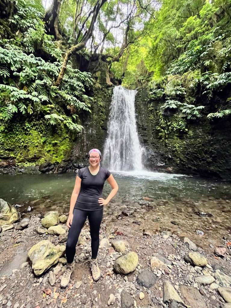
On the way back, you will have a second surprise: Aldeia do Sanguinho, a village founded by wealthy families from Faial da Terra to escape the floods that frequently devastated the main village. However, due to the strong emigration to the Americas in the 60s and 70s, it ended up being abandoned.
After checking the cute village, go down very carefully on a granite sidewalk, which is quite steep and slippery. But the views from there are phenomenal :)
If you take the Sanguinho trail, take the opportunity to see the Miradouro Pôr do Sol, one of the most beautiful viewpoints in São Miguel island.
Practical information
- Distance to cover: 4,5 km.
- Average duration: 2h.
- Type of trail: circular.
- Trailhead: Rua do Burguete 9650, Faial da Terra.
- Car park: no.
PRC05 SMI Serra da Devassa
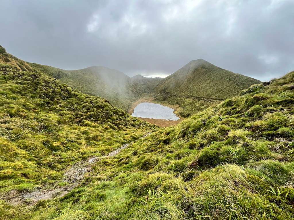
Serra da Devassa was one of the first trails I did on São Miguel island and it is, for me, one of the best trails in the Azores. However, it takes place between 750 and 900 meters of altitude, so you should do it on a day with good visibility.
It’s a short trail (only 5 km long) that starts at the car park opposite the Parque Florestal da Mata do Canário (which is where everyone goes :P).
It was wonderful to turn my back on the crowd and plunge into the bare mountains, on a day of immense fog. I quickly reached Pico das Éguas, from where you can see Lagoa da Égua, on the left, and Lagoa Rasa, in front.
Then I went down towards the lagoons, crossing a small forest of cryptomerias (beautiful native trees from the Azores) until I reached Lagoas das Empadadas.
From there, the trail leaflet indicated to continue the circular trail back to the car park, but I took a small detour to go to Miradouro do Paúl. And I’m glad I did, because it’s one of the best viewpoints on São Miguel island!
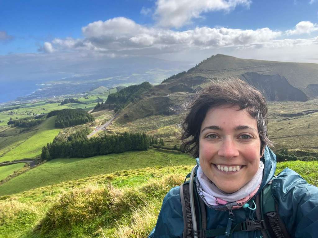
If you take do Serra da Devassa hiking trail, be sure to take the short detour to the Miradouro do Paúl, right next to Lagoa das Empadadas. It is VERY worth it.
Practical information
- Distance to cover: 5 km.
- Average duration: 2h.
- Type of trail: circular.
- Trailhead: Lagoa do Canário Car Park.
- Car park: yes, but it gets packed reeeeeally early because there is a very popular viewpoint nearby!
Lagoa do Canário e Miradouro da Boca do Inferno
I hesitated to include the tour from Lagoa do Canário to the Miradouro da Boca do Inferno on these list of the best trails in the Azores because it is a very, very simple trail. But really, not all trails have to be complicated to be fun :)
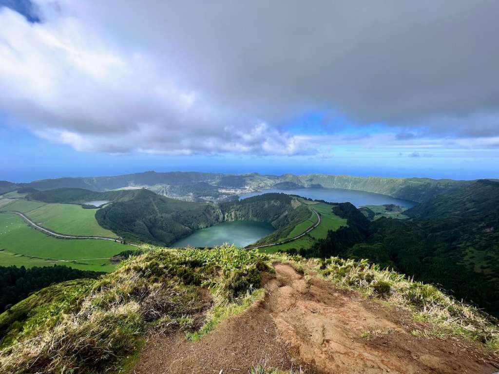
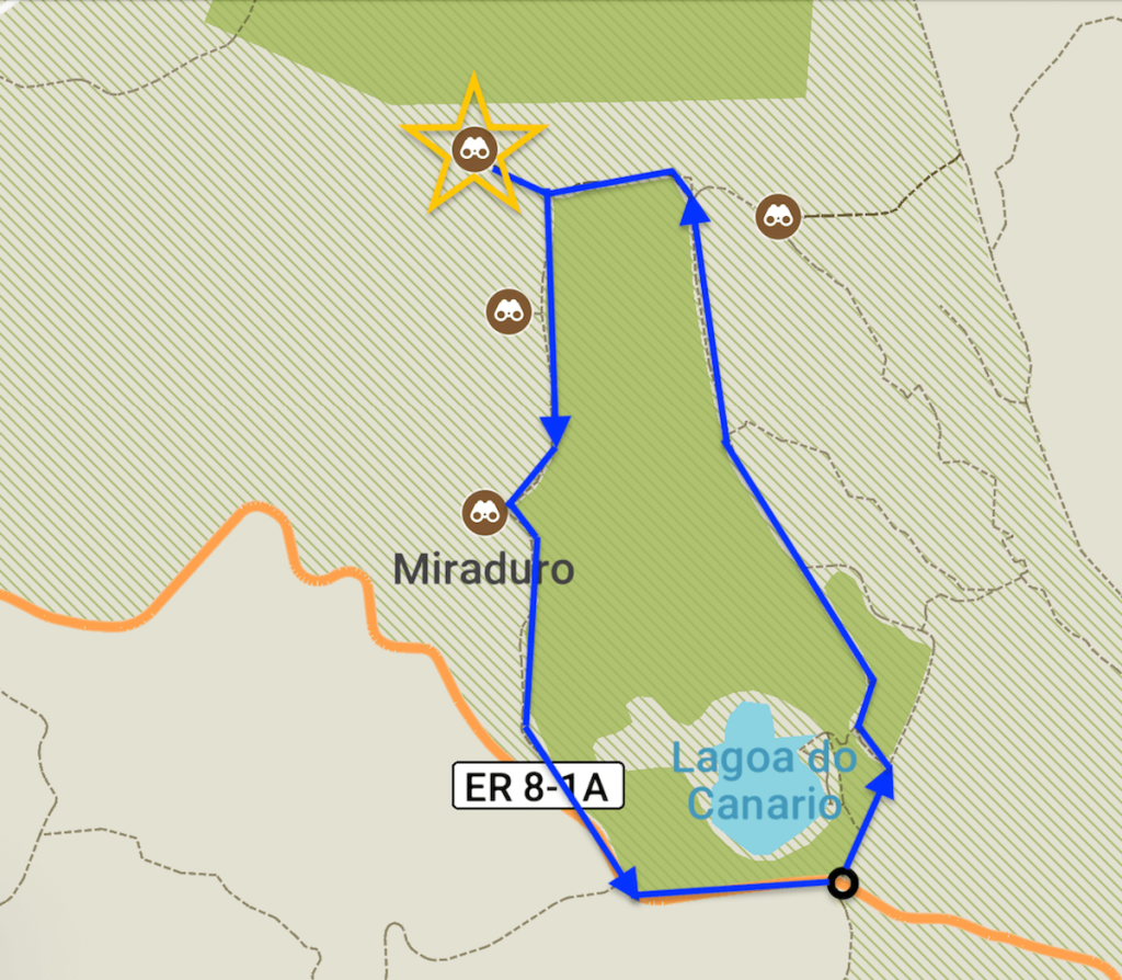
The trail starts in the same parking lot where the Serra da Devassa trail begins. From there, follow a wide path, inside a forest, until you see Lagoa do Canário, on your left. You’ll follow the trail until you reach the imposing (and very famous…) Miradouro da Boca do Inferno.
The view is spectacular, over the Caldeira das Sete Cidades, with the Azul, Rasa and Santiago Lagoons. On sunny days, you can see clearly that the lagoons have different colors, green and blue. Gorgeous!
You can go back the same way to the car, but you already know that I HATE linear trails, so what I did was turn right (when your back is turned to the viewpoint!) and go downhill until you reach the beginning of the trail.
A simple trail, short but effective, that can be done with children over 6 years old.
Practical information
- Distance to cover: 3 km (the way I did it!).
- Average duration: 1h.
- Type of trail: circular (the way I did it!).
- Car park: yes, but it gets packed reeeeeally early!
Best trails in the Azores: Terceira Island
PRC01 TER Mistérios Negros
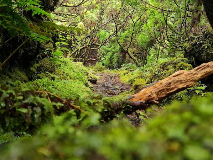
The Mistérios Negros are the best-known trails in the Azores, and no wonder: during a short journey of approximately 4.5 km and an estimated duration of 2h30, you will dive into a dense forest worthy of the Lord of the Rings.
It is a VERY technical trail, with some swampy passages, full of rocks, and steep climbs and descents. There were parts that even I felt that were quite difficult and that I had to slow down to make sure not to hurt myself and/or get lost, so I only recommend this trail to anyone who is in good physical shape and to children over 12 years old.
Practical information
- Distance to cover: 4,9 km
- Average duration: 3h (it actually took me 2h30)
- Type of trail: circular
- Trailhead: near the supporting house of Gruta do Natal
- Car park: a small one – it gets packed super early!
PRC06 TER Rocha de Chambre
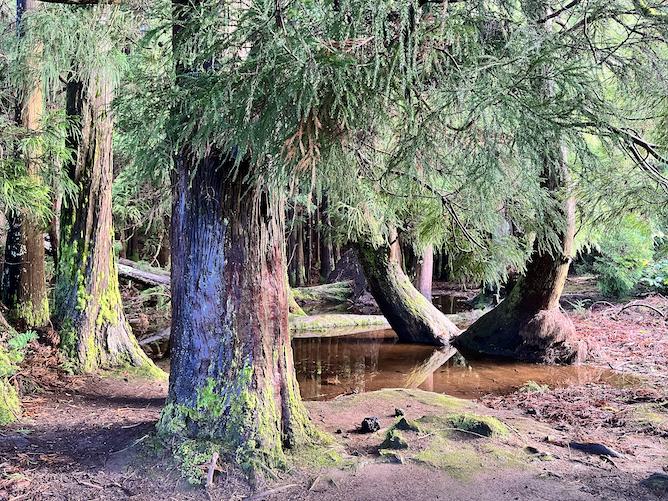
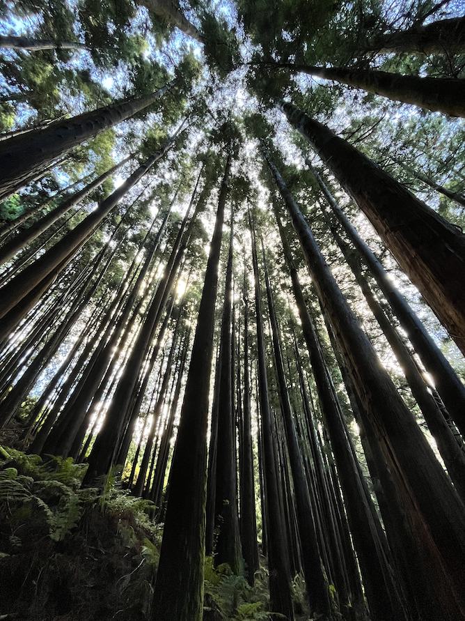
Rocha de Chambre is a super trail that will show you forests of gigantic trees and bushes along black stone walls, steep and technical paths, open ridges, old cattle pastures… it’s so varied and I love it for that.
In rainy weather, this trail is quite difficult: there are many muddy and slippery places, which did not manage to spoil the fun for me.
The only problem with this trail – and I realize that for some people it is a problem – is that it is quite muddy: I always end up with my boots disgusting!
There are those who like to do this trail clockwise, but I prefer to do it counterclockwise: it works better since you end with a very muddy path down. There you can more easily come down while holding on to branches rather than pulling yourself up.
Practical information
- Distance to cover: 8,8 km
- Average duration: 3h
- Type of trail: circular
- Trailhead: the trail starts here.
- Car park: no.
Best trails in the Azores: São Jorge Island
Hike to Fajã João Dias
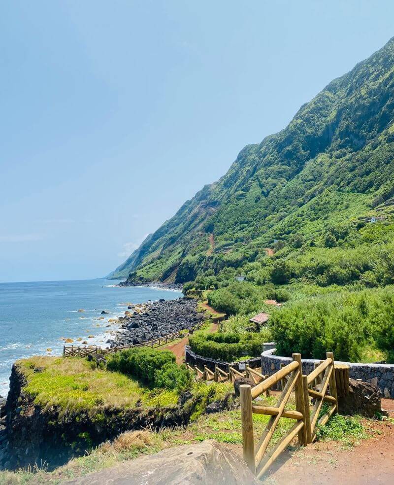
João Dias is a fajã that I am particularly fond of because, although it is an uninhabited fajã (there is not even electricity – each house has its own generator), it has a beautiful community of people who gather there on weekends.
And this, my friend, is what makes the journey to Fajã João Dias one of the best trails in the Azores :)
Fajã de João Dias has about 60 renovated houses, equipped changing rooms for those who want to take a bath, and even a small black sand beach, perfect for a summer swim.
All you need to know about this trail
There are two ways to do this trail on São Jorge:
- You can do the new trail, which opened a couple of years, and which starts at the swing in the fajã of João Dias. It is a wide trail, on beaten earth (in some areas it even has cement), with beautiful views to the fajã. Both jeeps and quad bikes can circulate on this path, which can be annoying for hikers, as it makes it both crowded and, well, noisy :P
- You can also follow the old path, which has the advantage of not having any kind of vehicle. However, it is really the only advantage, because it is a steeper trail and the vegetation is very deep, so you can’t see shit.
Practical information
- Distance: new trail: ~ 3 km | old trail: ~ 2 km
- Duration: 1h (both the new trail and the old trail)
- Type of trail: linear
- Difficulty: medium
PR03 SJO Fajã de São João to Fajã dos Vimes
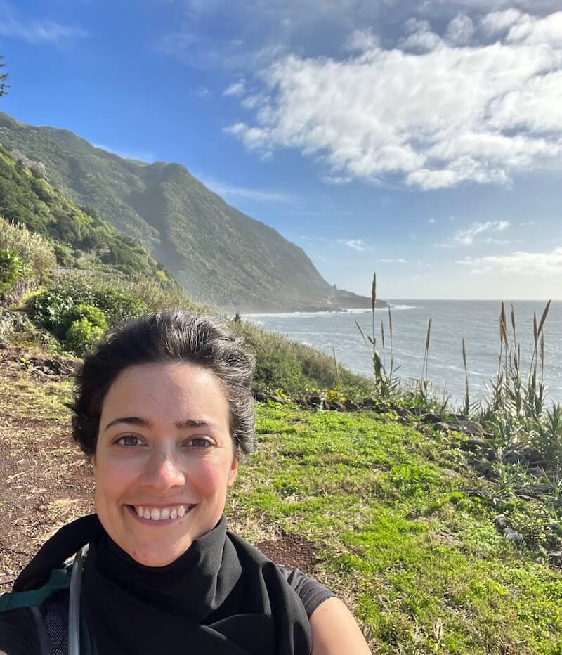
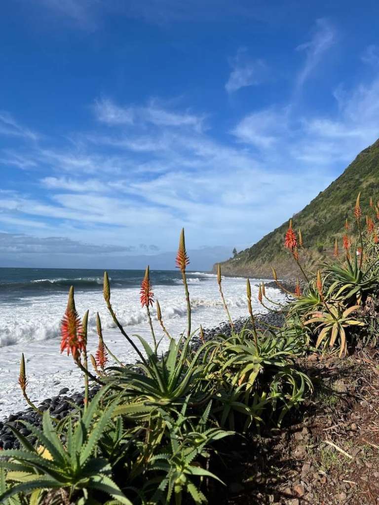
I was told by a local friend that this was the toughest hiking trail in São Jorge island but honestly, for me it was quite pleasant 😅
It’s a relatively long walk (at least for the parameters of São Jorge island), but the landscape varies a lot and in some parts it’s very beautiful, so I didn’t even notice the time going by.
The part I liked the most was right at the beginning, as soon as I left Fajã de São João, because the view over the bay is really beautiful.
On the other hand, I really liked the vegetation that I found along the way: fayatrees, Australian cheesewoods, wild monsteras deliciosas, cactus… it was wonderful 🙂
All you need to know about this trail
The trail is well marked. The ground varies along the route – sometimes it’s dirt, other times it’s stone stairs and in the worst areas it’s an immensity of vegetation on a very steep floor. In this part you have to be very careful not to slip!
Starting point: ponta de São João – at the very end of the village. There is a small car park and a sign saying “Baía da Areia”. You should start there.
How to do the trail: There is a small car park and a sign saying “Baía da Areia”. You should start there.
Beforehand, you should arrange with a taxi driver to pick you up from the church of Fajã dos Vimes and take you back to your car. The ride costs around 20 / 25€.
Practical information
- Distance: ~ 10 km
- Type of trail: linear
- Duration: 3h30 (for me)
- Type of trail: linear
- Difficulty: medium
PR01 SJO Hike from Serra do Topo – Caldeira de Santo Cristo to Fajã dos Cubres
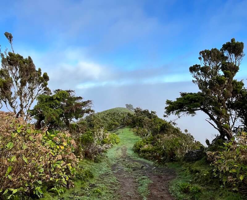
The most iconic hiking trail in São Jorge island is the one connecting Serra do Topo (a viewpoint located at a high point) to Fajã da Caldeira de Santo Cristo and then from there to Fajã dos Cubres.
I am usually quite skeptical of famous things to do but honestly, if you only have time to do ONE hike in São Jorge, you should definitely do this one. It is magical and definitely one of the best trails in the Azores 🥲
I particularly liked the first section of the trail, between Serra do Topo and Fajã da Caldeira de Santo Cristo: the native vegetation is beautiful, you can hear hundreds of birds and you can see fabulous views of the fajã.
But even if it’s a misty day, the mountain range is enveloped in a mystical fog that is also very beautiful.
When you arrive at Fajã da Caldeira de Santo Cristo you’ll be immediately amazed – the houses have all been restored, with small gardens surrounded by flowers. There’s even a small restaurant and a nice church.
It is, in my opinion, the second most beautiful fajã in São Jorge island, so if you have the opportunity, spend a night there 🙂
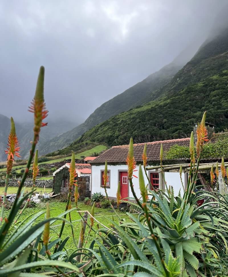
However, I didn’t like the second part of the trail at all, which is the walk between Fajã da Caldeira de Santo Cristo and Fajã dos Cubres.
The trail is on dirt, next to the sea, and there are A LOT of quads (it’s the only way to transport people and materials between the two fajãs), which raises a lot of dust and makes for a very noisy, 1h hiking trail. No bueno!
All you need to know about this trail
Starting point: Serra do Topo’s viewpoint. There is a small car park there.
How to do the trail: park your car at Serra do Topo – make sure to get there early as this is one of the most popular trails in São Jorge island!
Beforehand, you should arrange with a taxi driver to pick you up from the church of Fajã dos Cubres and take you back to your car. The ride costs around 20 / 25€.
Practical information
- Distance: ~ 9,5 km
- Duration: 3h (for me)
- Type of trail: linear
- Difficulty: medium
Best trails in the Azores: Flores Island
PRC04 FLO – Fajã de Lopo Vaz
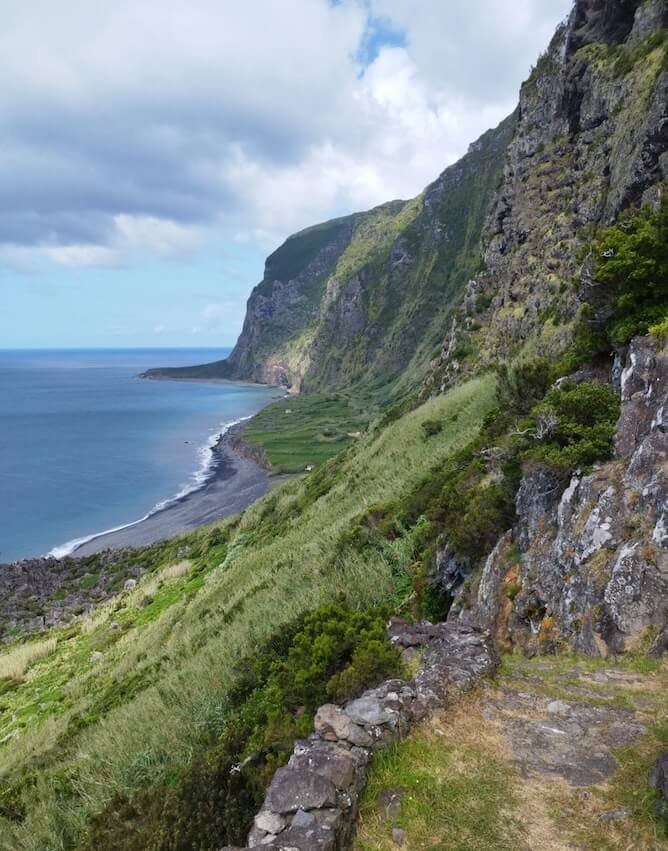
This trail alternates between dirt roads with wooden trunk protections, paved sections and, at times, stone steps to help you overcome the slopes.
A few minutes after starting the descent, you will turn into a rocky path: you will reach a staircase that is said to have been built by Lopo Vaz himself in the first decade of the 1500s, and is perhaps the oldest visible human construction on the island, which descends in steep curves.
Right on the way down, you will find a niche with a small statue of the Virgin Mary and a cross. Along the way, you will find other religious images, perhaps to protect the visitors.
The path passes through a waterlogged area: step on the strategically placed stones to continue, and be careful not to slip. The water comes from the fajã’s only source, a spring that exists next to the cliff, over 350m high.
Finally, after descending for about 45 to 60 minutes, you will arrive at Fajã de Lopo Vaz.
There is a beach at Fajã de Lopo Vaz, but BE CAREFUL! I do NOT recommend swimming here, not only because the sea is rough but also because the waters are usually full of jellyfish.
There is no exit from the fajã, so you will have to return the same way.
The walk back up will be a lot more strenuous. Make sure not to come back during the hottest part of the day: the foliage traps the humidity and there won’t be a lot of breezes, and THAT can feel exhausting.
Practical information
- Distance to cover: 3,4 km (to go and come back!).
- Average duration: 2h.
- Type of trail: circular.
- Difficulty: Medium.
- Trailhead: Miradouro da Fajã de Lopo Vaz (it’s a viewpoint).
- Car park: yes.
PR02 FLO Lajedo – Fajã Grande
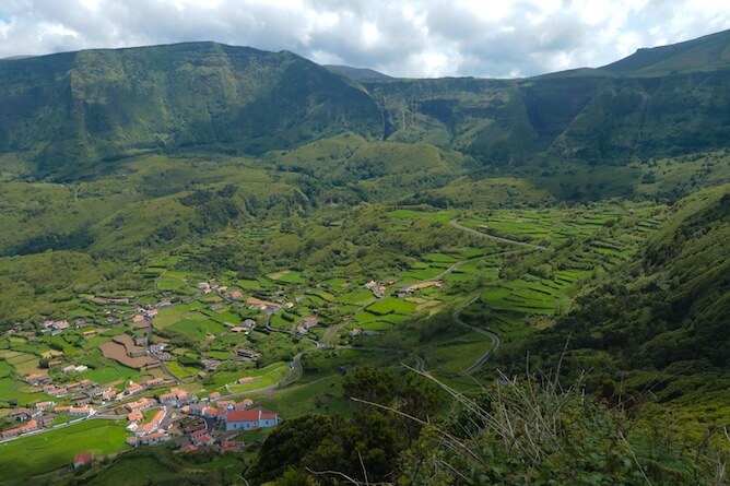
The hike begins in Lajedo, next to a beautiful church. After leaving the last houses, you’ll find a viewpoint with an information panel about the nearby Portinho do Lajedo, where the Slavonia steamship ran aground in 1909.
The trail is about 3 km long and leads to the village of Mosteiros, where a steep 130 m climb awaits. Mosteiros has only 43 inhabitants, so you might not see many people. Here, you can view the impressive Rocha dos Bordões before continuing down a concrete path.
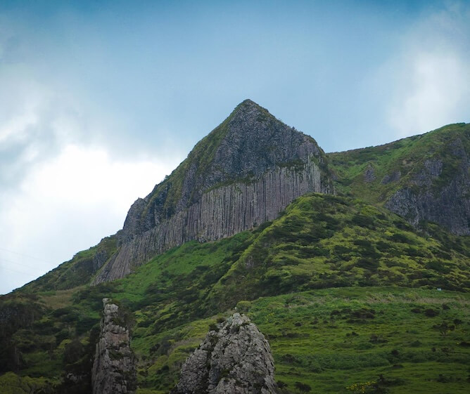
After crossing a bridge, you’ll encounter scenic haystacks ideal for photos. Follow the old path past the abandoned village of Caldeira do Mosteiro, leading to a viewpoint at Cruzeiro da Fajazinha.
As you approach Fajãzinha, explore the church and then make your way towards Fajã Grande. Don’t miss the 800-meter detour to Poço da Ribeira do Ferreiro, known for its stunning waterfalls cascading into a lagoon.
The hike concludes near the port at Fajã Grande, where you can enjoy refreshments and relax in the bathing area.
Practical information
- Distance to cover: 13,1 km (to go and come back!).
- Average duration: 3h30.
- Type of trail: linear.
- Difficulty: Medium.
- Trailhead: Hike Lajedo-Fajã Grande, near the church of the town of Lajedo.
- Car park: no, but it’s not too difficult to park in Lajedo.
PR03 FLO Miradouro das Lagoas – Poço do Bacalhau
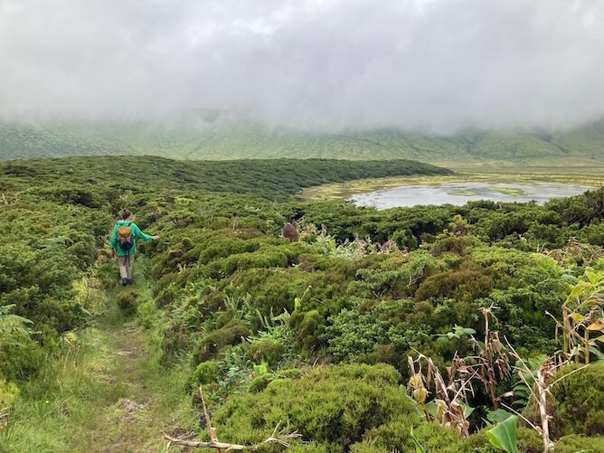
In my opinion this is one of the most beautiful hikes and trails in Flores, if not THE most beautiful one.
The trail starts at one of the most beautiful viewpoints on the island, the Miradouro das Lagoas Negra e Comprida.
First, explore the area around the four crater lakes on the Flores plateau before descending to Fajã Grande to visit the Poço do Bacalhau waterfall. Passing Lagoa Comprida, you’ll enjoy views of Caldeira Comprida and Lagoa Seca, along with the impressive Caldeira Branca. Pico do Morro Alto, the highest peak on Flores (914 meters), is often hidden in fog.
This initial section, at an altitude of about 600 meters, is around 5 km long and best enjoyed in good weather. The ground can be flooded, making it easy to step in puddles. The challenging part of the trail is the steep zigzag descent to Fajã Grande, with a significant drop of 600 meters over 2.5 to 3 km.
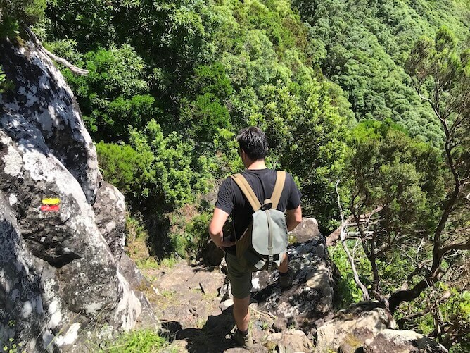
In bad weather conditions (fog, slippery after rain) or for anyone with vertigo, this trail can cause some problems, both due to its enormous drop in height and the very slippery rocks and mud, which requires great care.
At the end, you’ll reach the Poço do Bacalhau waterfall, the only spot on the island for a freshwater bath.
During July and August, a bus connects Santa Cruz das Flores and Fajã Grande, making access easier. Outside of these months, a taxi is necessary, costing between €20 and €25 for the trip. Read my article about How to get around in Flores Island for more information.
Practical information
- Distance to cover: 7,3 km (one way).
- Average duration: 3h.
- Type of trail: linear.
- Difficulty: Hard.
- Trailhead: Miradouro das Lagoas Negra e Comprida (it’s a viewpoint).
- Car park: yes, but it’s quite small and it gets packed easily. Go early!
Best trails in the Azores: Corvo Island
PRC02 COR Caldeirão
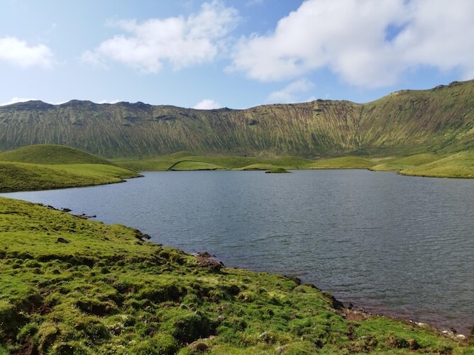
The PRC02 COR Caldeirão is THE most famous trail in Corvo Island and, in my opinion, one of the best trails in the Azores. It is an easy circular trail that will take around 2h30 to complete.
If visibility is poor, you may struggle to find your way around. However, the lower part of the caldera can be clear enough to allow for a pleasant walk.
The descent to the 2 lakes at the bottom of the caldera is via a zigzag path, muddy and slippery due to the water that runs down it, even in summer.
In the caldera you will find pastures, but also important natural habitats such as peat bogs, Macaronesian heaths and lagoons.
Below, go around the lakes on whichever side suits you best, as you will end up returning to the same place to leave the caldera.
In the past, the people of the island kept livestock in the caldera, including sheep and pigs, and, imagine, they even grew potatoes. None of that can be seen anymore. Just a few dozen multicoloured cows grazing inside, occasionally breaking the silence with their mooing.
When you go around the second lagoon, you will find a small wood of cryptomeria and some marshy areas, so be extra careful where you step. Continue until you find the access that took you inside Caldeirão and do it in the opposite direction, until you reach the point where you started.
Practical information
- Distance to cover: 4,8 km.
- Average duration: 2h30.
- Type of trail: circular.
- Difficulty: Medium.
- Trailhead: Miradouro do Caldeirão (it’s a viewpoint).
- Car park: there is no need for one, there are no car rentals in Corvo! :P

